
The Monitoring Avian Productivity and Survivorship (MAPS) Program
Project Status: Active
Program History
The Monitoring Avian Productivity and Survivorship (MAPS) program is a continent-wide collaborative effort coordinated by the Institute of Bird Populations (IBP), established in response to concerns about declining bird populations. The program's main goal is to support the conservation of birds and their habitats by tracking productivity and survival through banding and monitoring.
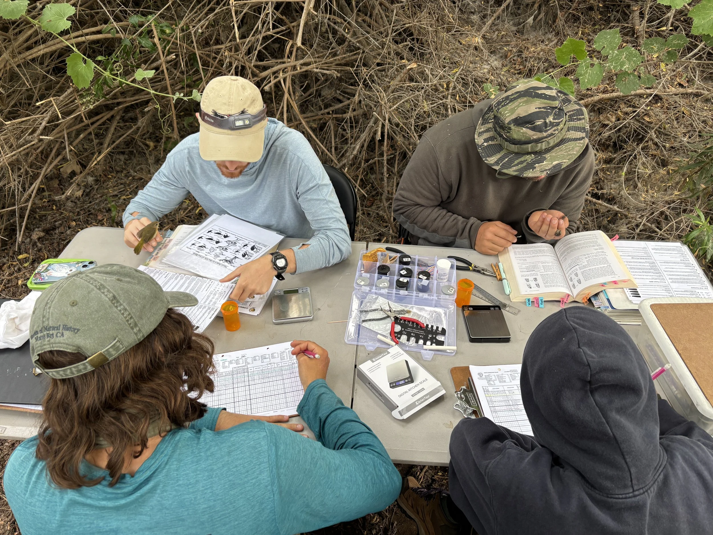
MAPS biologists banding birds at the Prado Basin Station. Photo by Phyl Sanchez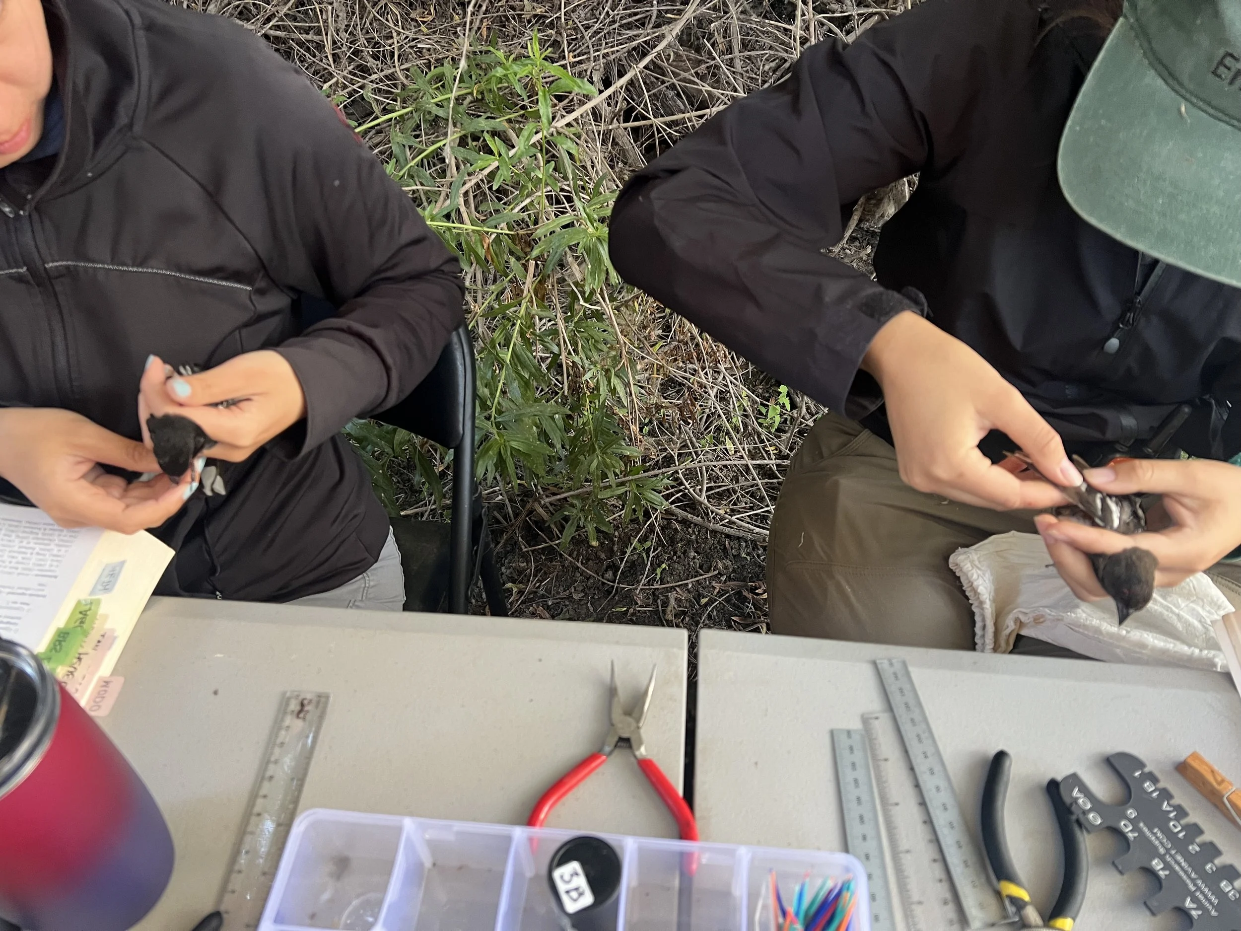
MAPS biologists collecting data. Photo by Thea Wang. Since its start in 1989, MAPS has spread across North America, reaching 1,200 stations that have captured more than 2.5 million birds in both the United States and several Canadian provinces.
Our Work
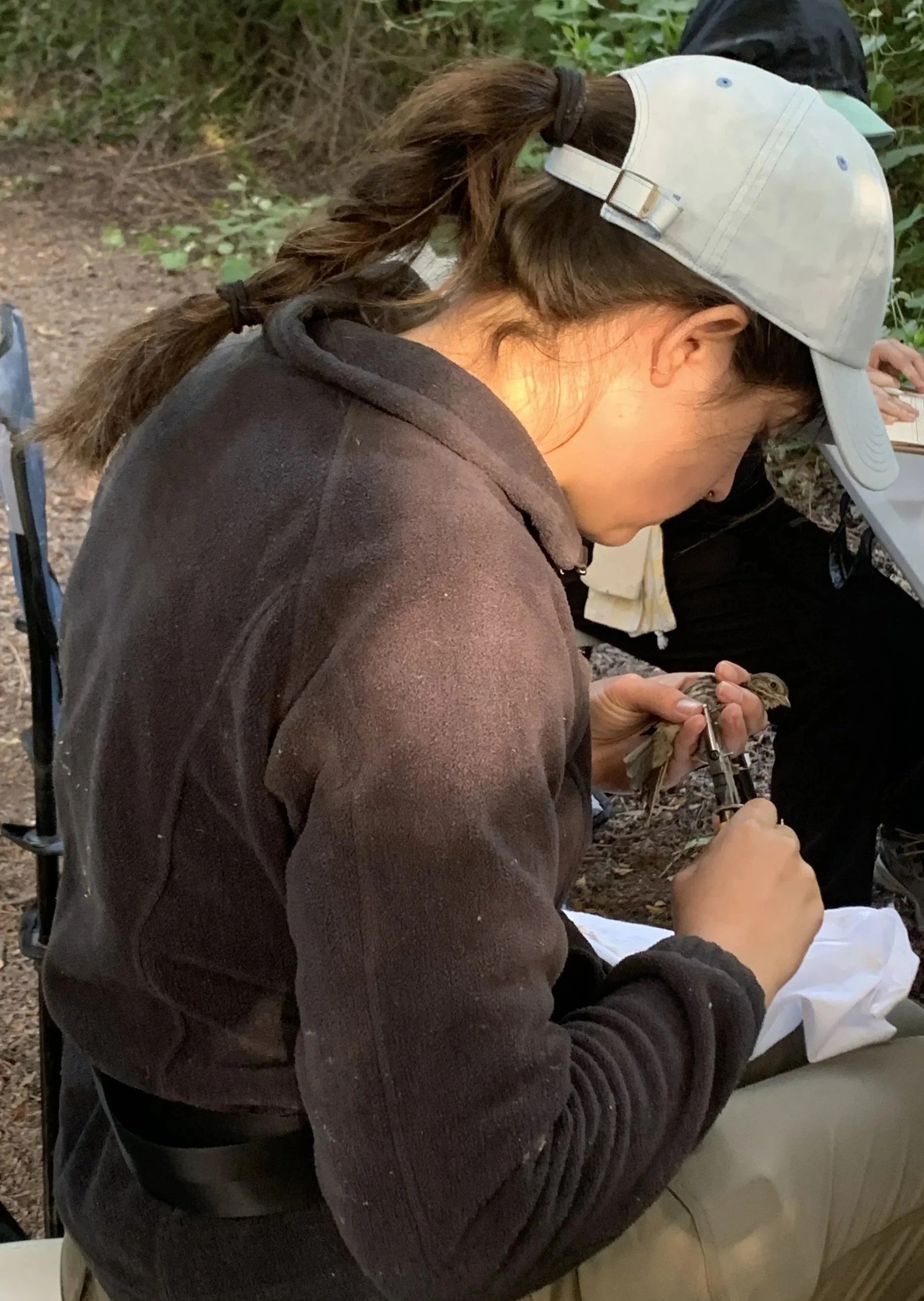
Permitted biologists and trained volunteers set up mist nets during 10 predefined periods between May and August to capture and process birds. They record data for each bird, including age, sex, body condition, and reproductive status. After collecting this information, the collected birds are fitted with lightweight, unique identification bands, allowing biologists and researchers to recognize individuals during later encounters. After recording all relevant information, biologists release the birds unharmed at the capture site.
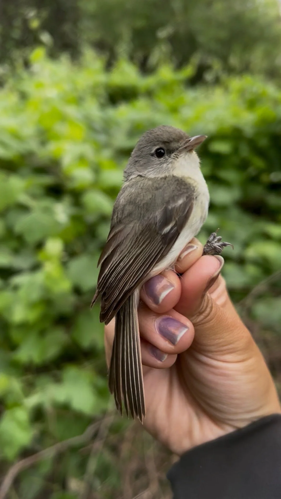
Least Bells Vireo *Wildlife Handled by Permitted Biologists. Photo by Helen Lin. Program Goals
Research from the MAPS station can monitor population changes for multiple bird species, track population health, identify existing issues, and ultimately enhance the effectiveness of conservation and management efforts.
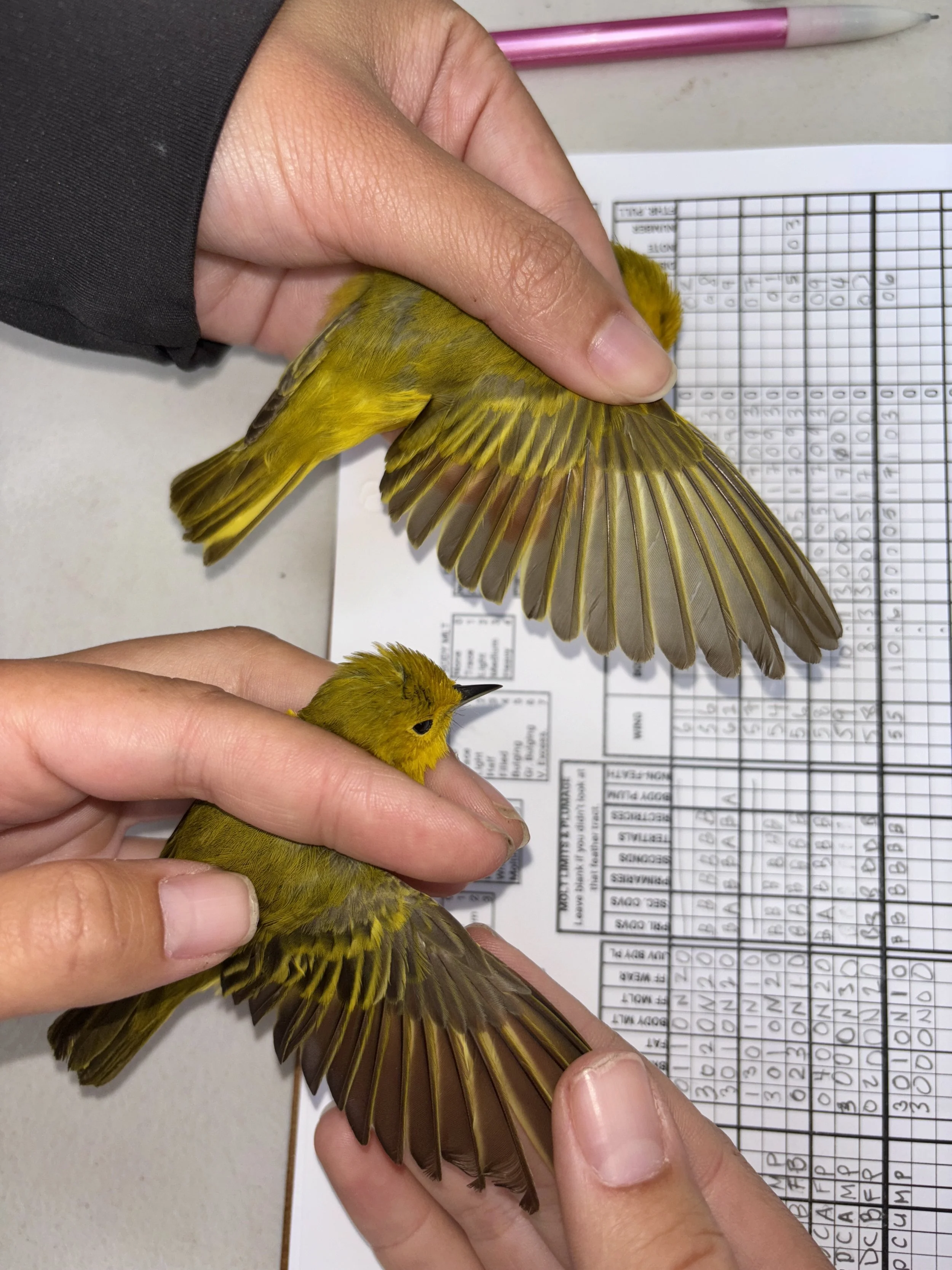
Yellow Warblers. Photo by Helen Lin. Prado Basin Station
Institute for Conservation Research and Education (ICRE), in collaboration with The Institute for Bird Populations (IBP) and the Orange County Water District, established a MAPS station in the Prado Basin at the Prado Wetlands, Corona, CA, in 2022. This unique station is the only MAPS station in Southern California that is located within riparian habitat. Riparian habitat supports a wide variety of passerine birds, including many threatened and endangered species, like the least bells vireo.
Starting in 2027, ICRE will create a new MAPS station in a different location in Orange County to continue the project and banding efforts.
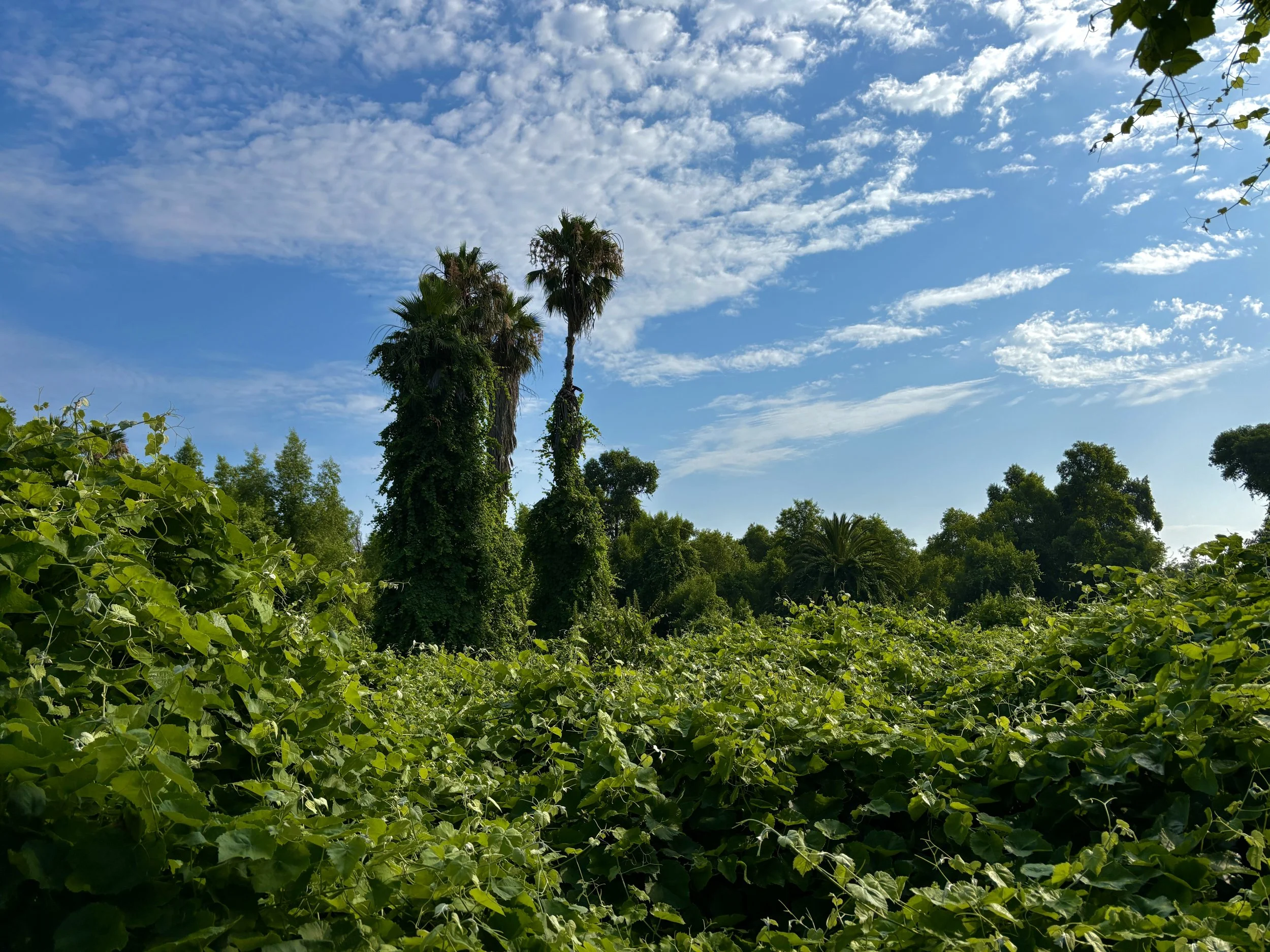
Prado Basin Station. Photo by Phyl Sanchez.